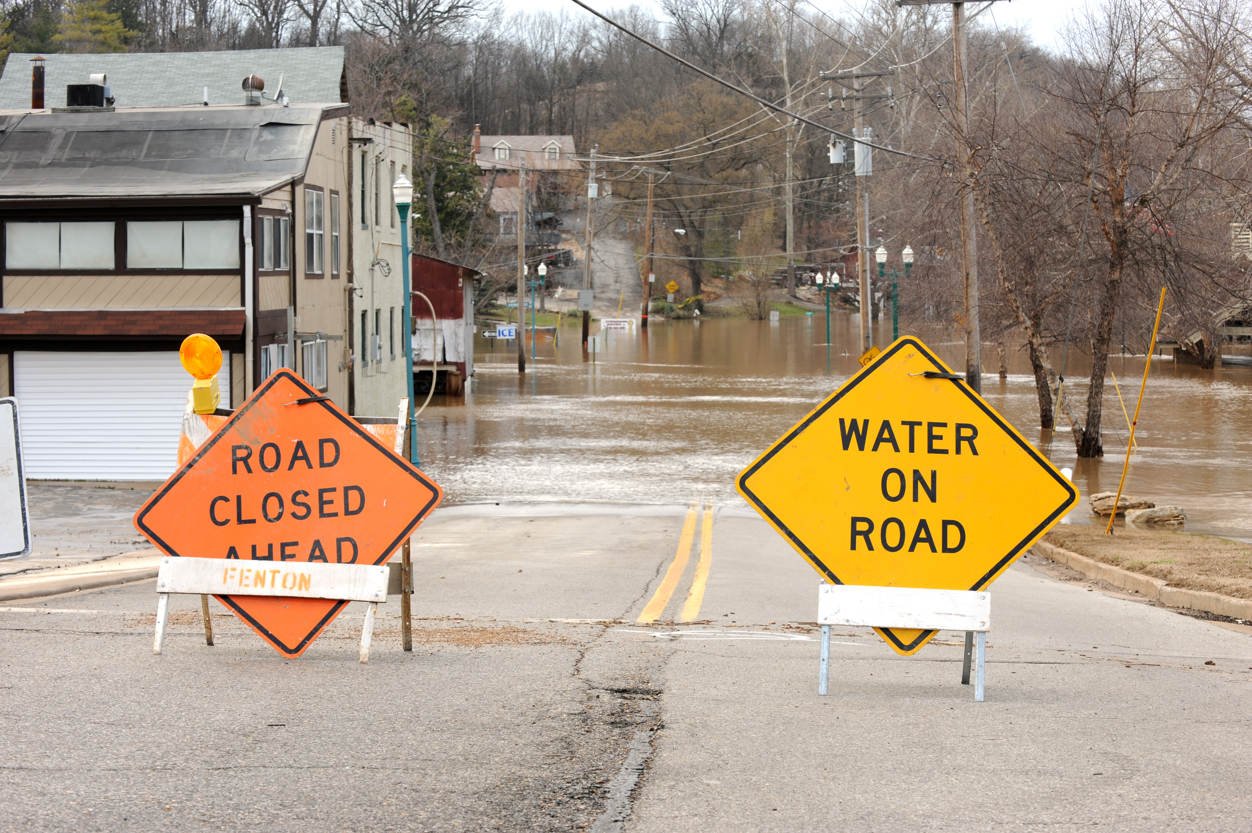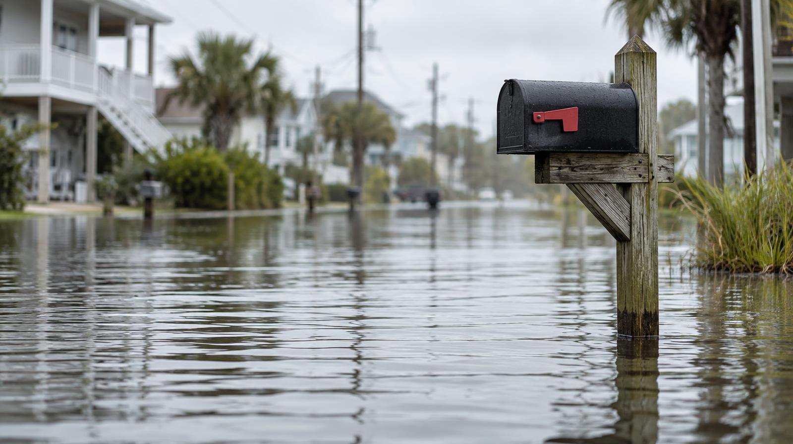
Bay tides running well above normal will push seawater into low-lying Marin neighborhoods through Thursday afternoon, the National Weather Service warned.
The agency's Coastal Flood Advisory took effect at 11 a.m. Monday, Sept. 28, and runs through 5 p.m. Thursday, Oct. 1. Up to 1.2 feet of water above ground level is possible near shorelines and tidal waterways along San Francisco Bay, San Pablo Bay and Monterey Bay.
No rain is in the forecast. El Niño and long-term sea level rise are driving the higher tides, the San Francisco Chronicle reported. Sea levels along the California coast are running roughly 6 to 9 inches above the tidal baseline set at the end of the 20th century.
NWS meteorologist Matt Mehle told SFGATE that warm equatorial Pacific waters have already lifted California coastal sea levels. "There are a few places up in Marin, in the North Bay, that also get some water inundation," Mehle said.
The Marin County Flood Control District has identified several Marin roads as historically prone to tidal flooding. The list includes Greenwood Cove Drive in Tiburon, Lucky Drive in Greenbrae, Redwood Highway at Greenbrae Boardwalk, the Manzanita Park & Ride lot near Tam Junction and Marin City.
The Southern Marin Fire District has previously flagged bayside Mill Valley and parts of Sausalito as vulnerable during similar advisories.
The Chronicle reported that before 2026, the Bay Area NWS office had never issued a coastal flood advisory in September. This is the second one issued in September 2026.
Gov. Gavin Newsom declared a state of emergency on Sept. 21 ahead of El Niño season, directing agencies to prepare for flooding and coastal impacts, ABC30 reported.
High tides will peak around 1 p.m. Monday and shift later each day, reaching about 3 p.m. Thursday, according to NWS data. The advisory puts Monday, Sept. 28's peak at 1.0 foot above normal at the San Francisco tidal gauge, with Tuesday and Wednesday both at 1.2 feet above normal, and Thursday, Oct. 1, easing slightly to 1.1 feet above normal. Predictions include up to 0.7 feet of surge on top of the astronomical tide.
Mehle told SFGATE the advisory could be extended into Friday.
What residents should do
The NWS advises residents to allow extra travel time, avoid driving around barricades and never drive through water of unknown depth. During a July coastal flood advisory, the Town of Corte Madera made sandbags available at Fire Station #14, 342 Tamalpais Drive.
A June king tide caused record summer flooding in Central Marin, according to the Marin Independent Journal. The Central Marin Police Authority reported water covering Doherty Drive and Lucky Drive, Lucky Drive and Fifer Avenue, Redwood Highway at Wornum Drive and Golden Hind Passage.
Looking ahead, the Chronicle reported another coastally trapped wave could push Bay Area sea levels a foot or more above normal by mid-October. King tides are forecast for the weeks of Thanksgiving and Christmas.
Residents can monitor current conditions through the county's Alert Marin emergency portal.