An ocean disturbance could raise Bay Area sea levels in October, an ocean scientist told Patch in a report published Oct. 2. Higher background water levels can increase flood risk when combined with high tides and storms—a concern for low-lying Southern Marin communities that experienced flooding in January and June.
The disturbance, called a coastally trapped Kelvin wave, was located between Cabo San Lucas and San Diego during a Sept. 30 interview and moving north, Patch reported. Dillon Amaya, an assistant professor of marine, earth and atmospheric sciences at North Carolina State University, said the wave had weakened during its journey.
Patch reported an expected Bay Area arrival in the second week of October, but Amaya said other ocean activity made its location and magnitude difficult to estimate.
The wave is not like a breaking wave or a tsunami. It raises background sea levels across a broad stretch of coastline. Tides, swells and storms then stack on top of that higher starting point. NOAA explains that these waves produce sea-level changes measurable by tide gauges and satellites.
Why Southern Marin is watching closely
In early January, king tides, storm surge and strong winds swamped parts of Corte Madera. The town’s Public Works Department delivered more than 1,200 sandbags and roughly 30 to 35 tons of sand, according to the town’s flood-response record. Marin County later qualified for low-interest disaster loans from the U.S. Small Business Administration.
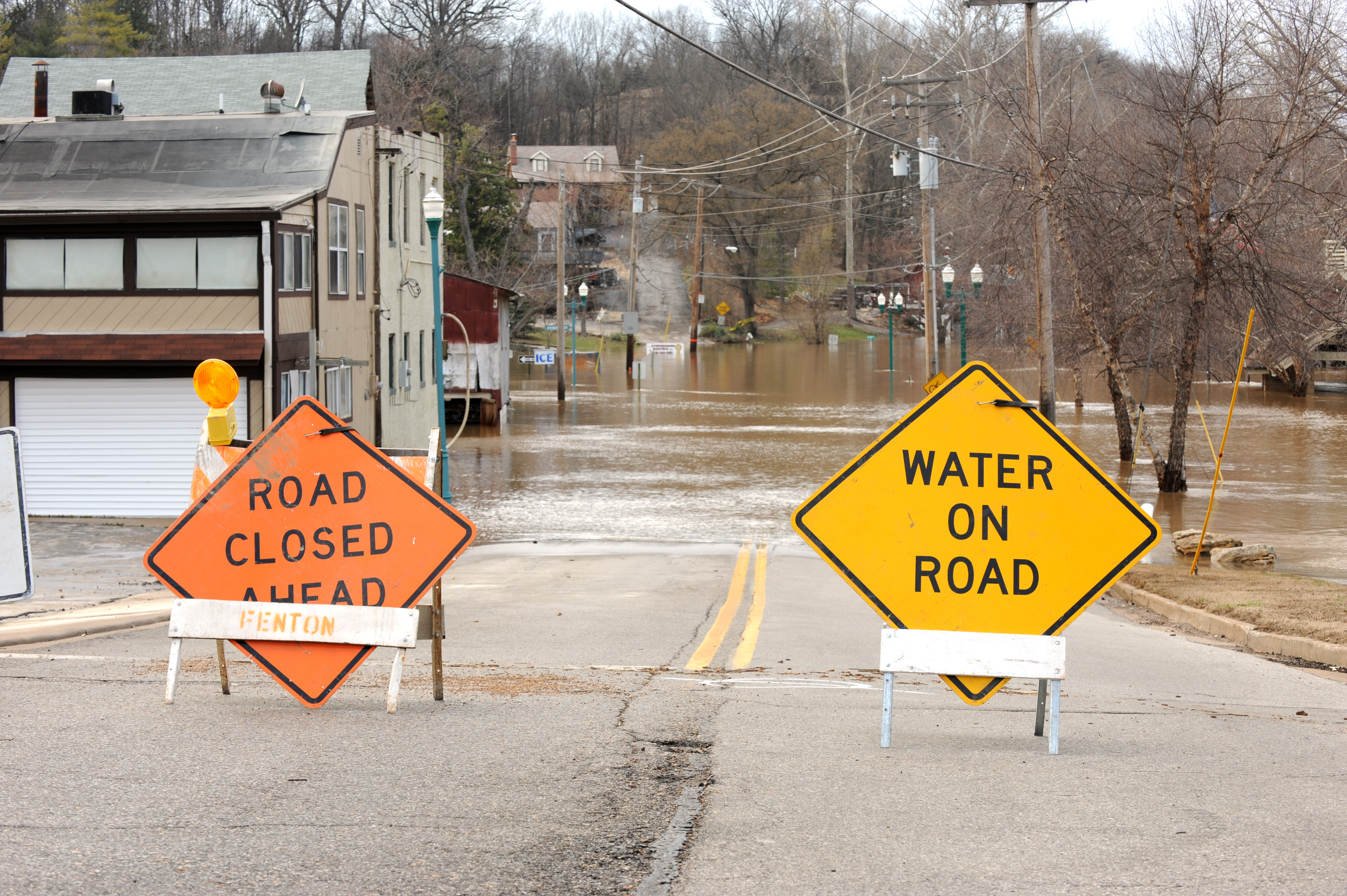
A king tide in June reached 1.97 feet above normal, which an NWS meteorologist described as a summertime record, and flooded streets in Larkspur and Corte Madera. Affected areas included Doherty Drive, Lucky Drive, Redwood Highway at Wornum Drive and Golden Hind Passage, according to the Marin Independent Journal.
On Wednesday, Sept. 30, the National Weather Service issued a coastal flood advisory warning of minor flooding that could bring water 1.2 feet above ground level along Marin’s bayshore and tidal waterways, the Marin IJ reported. That advisory expired Oct. 1 at 5 p.m.
Local and county preparations
The Marin County Board of Supervisors approved a $3.021 million investment in winter storm preparedness on Tuesday, Sept. 29. About $2.27 million will fund public works infrastructure and flood-response resources, including temporary flood barriers, sandbags, tide gates, check valves and drainage protections. Another $390,000 supports Marin County Parks’ flood and erosion work.
“We can’t eliminate the risk of flooding or know exactly what this winter will bring, but we can take reasonable steps now to strengthen vulnerable infrastructure,” Robin Bartlett, assistant director of Marin County Public Works, said in the Sept. 29 county news release.
Mill Valley has cleared drainage channels, inspected every flapper gate and check valve in the city and is adding four new flapper gates near Sycamore Avenue, according to the Mill Valley Briefing.
Gov. Gavin Newsom declared a statewide emergency on Sept. 21, citing the threat of damaging storms from a potentially historic El Niño. The declaration fast-tracks permits for flood protection projects.
NOAA’s Sept. 10 outlook gives a greater than 90% chance of a very strong El Niño during fall and winter 2026–27. That does not guarantee particular storms or flooding in Marin.
Where to get sandbags
Larkspur: Piper Park, 250 Doherty Drive, is listed as a self-service sandbag site on the city’s current page. Bring your own shovel.
Tiburon: Beach at Marsh Road behind CVS by the tennis courts, and Blackie’s Pasture gravel parking lot, according to Tiburon Fire’s 2026–27 preparedness information.
Residents can sign up for AlertMarin and check Marin County’s sandbag information. Supplies can run out during storms.