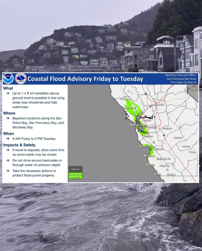
Marin County will send flood warnings to residents up to five days before major storms hit this winter, using four specific triggers: forecasts of 2 inches of rain in one hour, 3 inches over 24 hours, tides above 7 feet or sustained winds exceeding 30 mph.
The thresholds are part of an updated AlertMarin notification framework that chief resilience officer Nick Brubaker outlined to the Board of Supervisors during an August briefing, according to the Marin Independent Journal. Brubaker told supervisors there is now a greater-than-90% chance of significant El Niño conditions this coming year, based on updated Climate Prediction Center forecasts.
For Southern Marin neighborhoods, the stakes are concrete. Permanent pump stations already serve Tiburon's Bel Aire, Strawberry Circle and lower Tamalpais Valley near Mill Valley. Public Works Director Christopher Blunk said his crews have readied 11 large portable pumps for deployment in additional vulnerable areas, inspected 6,000 culverts and cleared 350 storm drains.
"We have 11 large portable pumps that are able to be deployed. We'll stage those in areas that we know are vulnerable within the county," Blunk told supervisors.
The county's biggest worry is compounding events. El Niño raises sea levels on its own, and king tides forecast to coincide with the Thanksgiving and Christmas holidays could overlap with atmospheric rivers. In January 2026, that combination flooded low-lying areas including a Chevron station on Redwood Highway in Larkspur, causing an estimated $4.3 million in damage. The state denied Marin's request for emergency assistance, leaving the county ineligible for FEMA funds.
What residents should do now
Sign up for AlertMarin. Only 47% of parcels in flood-prone areas currently have a subscriber, according to county data presented during the August briefing. The system now lets users choose specific categories: coastal flooding and king tides, river and creek flooding, prescribed burns, significant weather alerts and traffic disruptions.
Get sandbags early. The county has identified 32 free sandbag locations. Officials warn that supplies may run out during a storm and some sites may limit quantities per household.
Review your insurance. Standard homeowner policies typically do not cover flood damage. Marin County participates in the National Flood Insurance Program, which makes federally backed coverage available for all homes, according to the Marin County Flood Control District.
New radar gives hyperlocal forecasts
A network of six advanced weather radar installations, called the Advanced Quantitative Precipitation Information project, became fully operational in March, including a unit atop Mt. Barnabe in Marin County. The broader AQPI system provides rainfall forecasting across the Bay Area.
The system updates precipitation data every two minutes, far faster than standard National Weather Service radar, according to NOAA. Public Works will receive customized forecasts for specific locations.
Town halls and drills planned
The county is scheduling nine town halls to explain preparedness steps, though dates have not been announced. Emergency managers will also travel to Monterey in November to study the 2023 Pajaro levee failure, focusing on warning timelines and evacuation communications.
Nancy Gribler, president of the Muir Woods Park Community Association, told supervisors that her neighborhood already lives with compounding risks. "Most winters, trees and poles fall, cutting off power and sometimes road access for days," she said.
The county's general preparedness site is ReadyMarin. During storm season, updates will be posted at emergency.marincounty.gov