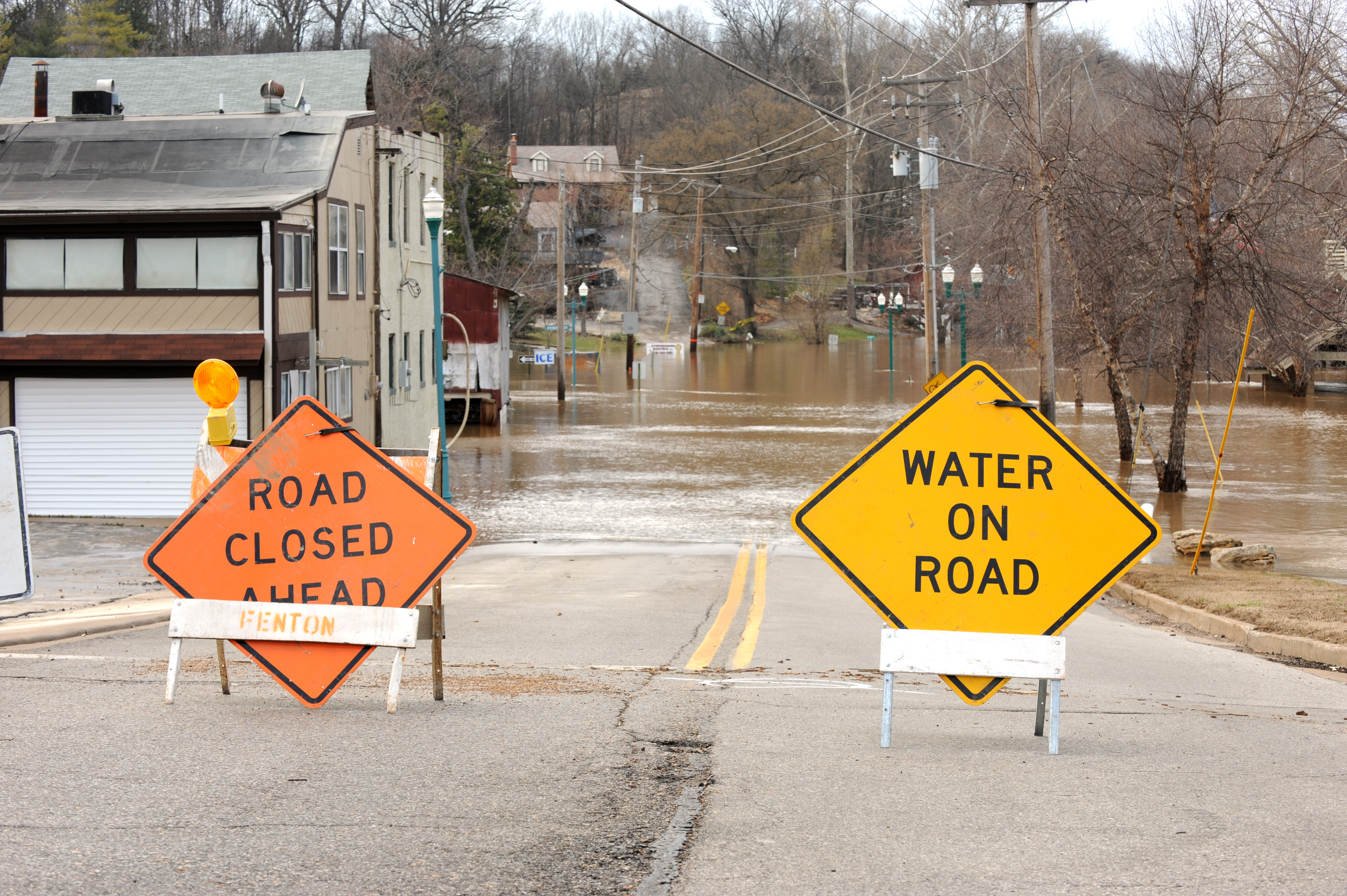
Mill Valley is building its first citywide plan to protect neighborhoods, businesses, and infrastructure from rising bay waters, with projections showing Miller Avenue, two schools, and multiple parks could flood under future sea-level rise scenarios.
The city formally launched the Mill Valley Shoreline Adaptation Framework on Thursday, July 30, kicking off a planning process that will assess flooding risks from sea-level rise, storms, and groundwater along the city's shoreline. The framework will identify vulnerable areas, explore adaptation strategies, and produce a plan to guide future investments.
At stake: projections presented at the city's May 6 community open house showed that a 4.9-foot inundation scenario would put Miller Avenue, Tamalpais High School, Mill Valley Middle School, the Community Center, Bayfront Park, and Hauke Park underwater, according to Mill Valley Briefing. At 6.6 feet of rise, the flood boundary would match the historic tidelands of 1870.
The framework aligns with Bay Conservation and Development Commission guidelines and responds to California Senate Bill 272, which requires all Bay shoreline communities to adopt formal sea-level rise plans by January 1, 2034. Mill Valley has already received state planning funds to support the effort, according to Marin County Chief Climate Officer Nadia Seeteram, who told the Board of Supervisors on July 18 that the county faces an estimated $17 billion in long-term adaptation costs.
"Seventeen billion dollars is a massive, massive number," Supervisor Eric Lucan said at that July 18 meeting. "What we don't want is for every jurisdiction to get a little piece of something. That will just water down the limited dollars that will be available."
Much of Mill Valley's low-lying land was built on artificial fill over former wetlands and tidal flats. Recent groundwater monitoring near the Manzanita parking lot at Highways 101 and 1 shows flood conditions are already becoming more frequent, according to a July 5 op-ed in Enjoy Mill Valley. Bothin Marsh, which sits at the edge of the city's flatlands, serves as a natural flood buffer between the lowest neighborhoods and San Francisco Bay.
City staff will have a table at two upcoming events to gather resident input:
- National Night Out — Tuesday, August 4, 5–7 p.m. on Mill Street in downtown Mill Valley
- Miller Nights — Friday, August 21, 5–8 p.m. at Depot Plaza
An online survey, available in English and Spanish, asks residents how they connect to the shoreline and what concerns them about coastal flooding. The survey draws on materials from the May 6 open house at the Community Center.
Under state law, Mill Valley must adopt a formal sea-level rise plan by January 1, 2034.